
The Columbia River Gorge is the only sea-level passage through the entire Cascade Range — a fact that explains almost everything about why this particular stretch of basalt and water became the place it is, long before anyone built a trail to it.
Growing up, my family took drives along the Gorge often, and in summer that sometimes stretched into days — once a full week, camping and waterskiing with my parents and sister on the Columbia itself. The river was glassy enough first thing in the morning for skiing, before the wind picked up and it turned choppy by afternoon, and we’d spend time on both the Oregon and Washington sides depending on where the water and the weather were better that day.
Multnomah Falls was one of the places I loved to return to in between — the one stop that genuinely never wore out its welcome, no matter how many times we’d already seen it.
In August 2009, Aaron and I brought that same place to our own two boys, on a visit to my dad and sister in Portland. A Gorge day trip was the easy answer to what to do with six people and one car — the kind of outing I’d known my whole life, now happening again with the next generation in tow.
It’s the tallest waterfall in Oregon and the second-tallest year-round waterfall in the country — two cascades dropping a combined 620 feet — and there are two ways in from Portland heading east: straight off Interstate 84, or the slower, more deliberate route along the Historic Columbia River Highway, one of the first scenic roads built in the country and still feels like it.
We started with lunch at the lodge before the hike — the six of us at a table with the falls visible through the window, which in retrospect was the right order of operations with two kids and a six-mile round trip ahead.
The falls announce themselves before the trail does — the sound first, then the drop itself, framed by the Benson Footbridge crossing the lower cascade about a quarter mile up from the base. Simon Benson, a timber entrepreneur, commissioned the bridge in 1914 and later donated the surrounding land to the City of Portland — one of those small civic gestures that quietly shapes how a place gets experienced by everyone after.
The bridge crosses the 69-foot lower falls at the point where the upper cascade’s pool spills over into it, a reinforced concrete arch doing the practical work of getting you close to the water without standing in it.


The rock face above tells its own story, if you read it: five distinct basalt flows, stacked and exposed by erosion from the catastrophic ice-age floods that carved much of this gorge. It’s not abstract geology from the trail — you can see the individual flows in the cliff face, dark bands marking each one, the kind of detail that turns a waterfall from a postcard into a timeline.
From the bridge, the trail turns into switchbacks, steep and steady, climbing alongside the creek the whole way up. I’d expected the boys — four and six at the time — to tire out partway up. Instead they shot ahead, scrambling up the switchbacks faster than the adults could keep pace with, and I spent more of the climb calling after them to slow down than I did catching my own breath.


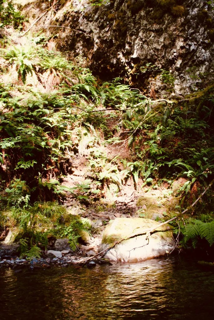
It’s a real hike — 1.1 miles, fully vertical in character — and the air gets noticeably damper as the tree cover thickens into something closer to rainforest. Multnomah Creek runs through that temperate rainforest above the falls, ferns thriving thick along its banks in the kind of damp green that only this stretch of the Northwest produces. On the way back down I had to remind the boys again, more firmly this time, to go carefully on the loose gravel rather than run it the way they’d run up.


At the top, the view opens into the Gorge proper: the creek above the falls, a smaller cascade called Little Multnomah feeding in, and the long cut of the Columbia River Gorge National Scenic Area stretching toward Washington across the water.
For those who want to keep climbing, the trail continues another six miles to the summit of Larch Mountain, where the falls’ water originates. We didn’t take it that day — six people and two kids is its own kind of itinerary logic — but from Sherrard Point at the top, the view is the kind that makes the climb worth justifying after the fact: the full expanse of the river and gorge below, and on a clear day, five Cascade peaks at once — Hood, Adams, Jefferson, Rainier, and St. Helens, arranged across the horizon like the range is showing off.
What the Land Holds
Standing at the upper overlook, it’s worth remembering that this was never an empty landscape waiting to be discovered. The Gorge was home to the Multnomah people, part of the Chinookan-speaking tribes who lived along this stretch of the river for thousands of years before any of the names on the current map existed. Before the dams of the twentieth century raised the water and submerged the cascades, salmon ran upstream here in numbers that shaped the entire regional economy and culture of the tribes who depended on them.
Lewis and Clark passed through in 1805, and their journals describe a river markedly different from the one we walked beside — a series of obstacles and cascades rather than the smoothed, dammed water of today, with significant elevation drops recorded across the stretch that included Celilo Falls and The Dalles. Reading their account against what the river looks like now is a reminder of how much engineering it took to make the Columbia navigable, and how much was lost — physically, ecologically, culturally — in the process.


The Lodge
Multnomah Falls Lodge has been welcoming visitors since 1925, designed by Albert E. Doyle — the same architect behind Timberline Lodge on Mount Hood, and a fitting connection, since both buildings work in the same regional vocabulary. The style is sometimes called Cascadian: native split fieldstone laid irregularly, color shifting from black and gray to brown and red across a single wall, a steeply pitched cedar-shingled roof with deep dormers and chimneys built heavy enough to anchor the whole structure visually to the cliff behind it. It’s architecture that doesn’t try to compete with the falls — it reads as an extension of the rock face, built from the same material vocabulary as the canyon itself.
We’d already had our lodge moment by the time we made it back down, full from lunch and footsore from the switchbacks, but the building was there the whole hike — visible from the upper trail at certain turns, stone and timber holding its ground at the base while the falls did the same above it.
Reblogged this on The White Tiger's Page and commented:
Love to cross that bridge!!!!